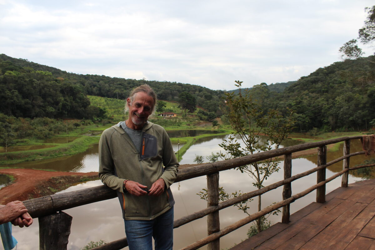
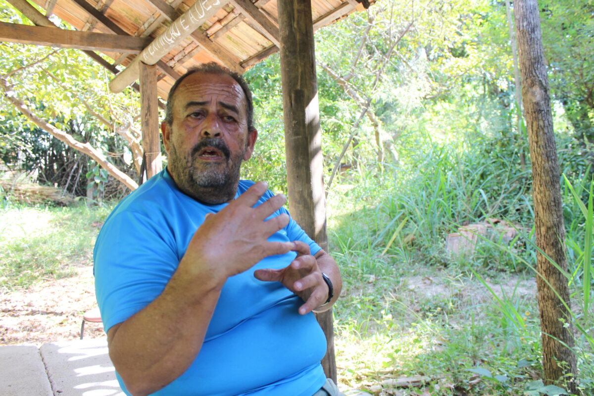
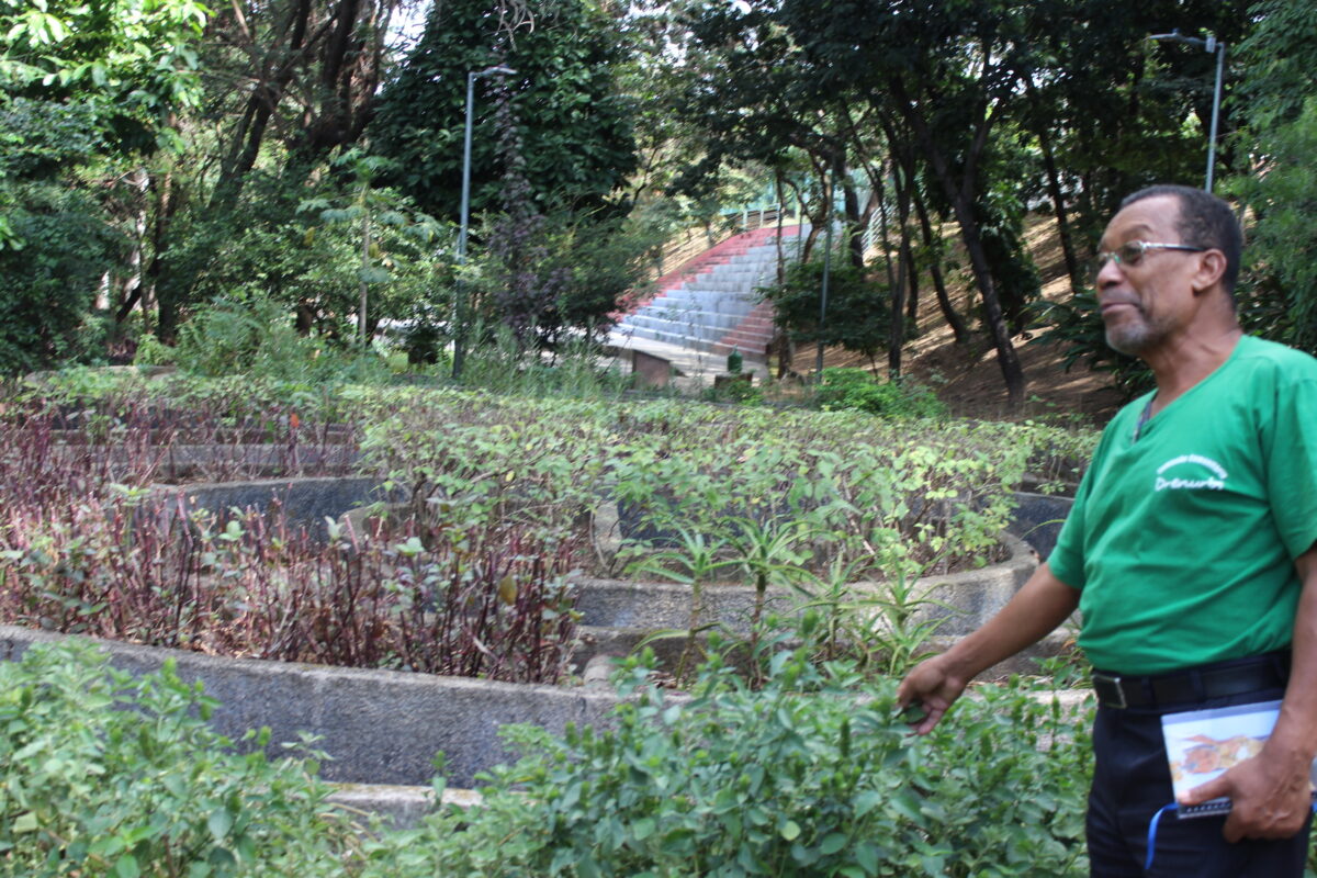
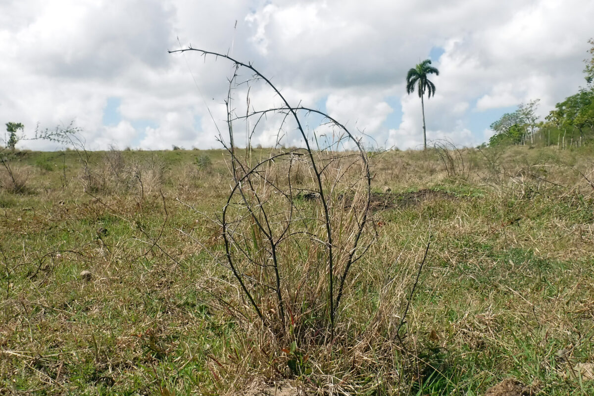
Cuban Farmers Fight Land Degradation with Sustainable Management — Global Issues

Farmer José Antonio Sosa, known as Ché, stresses the importance of taking into account the direction of the land for planting, and the use of live or dead barriers to prevent rains from washing away the topsoil to lower areas, thus combating soil degradation in Cuba. CREDIT: Jorge Luis Baños/IPS
  • by Luis Brizuela (havana)
  • Inter Press Service

“The land was a mess, covered with sweet acacia (Vachellia farnesiana) and sickle bush (Dichrostachys cinérea), with little vegetation and many stones. People asked me how I was going to deal with it. With an axe and machete I gradually cleared the undergrowth, in sections,” Sosa told IPS.

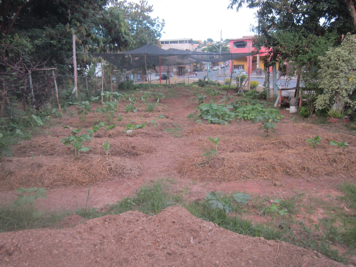
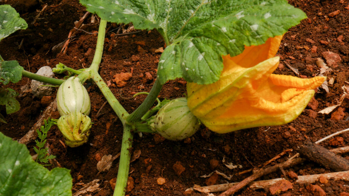
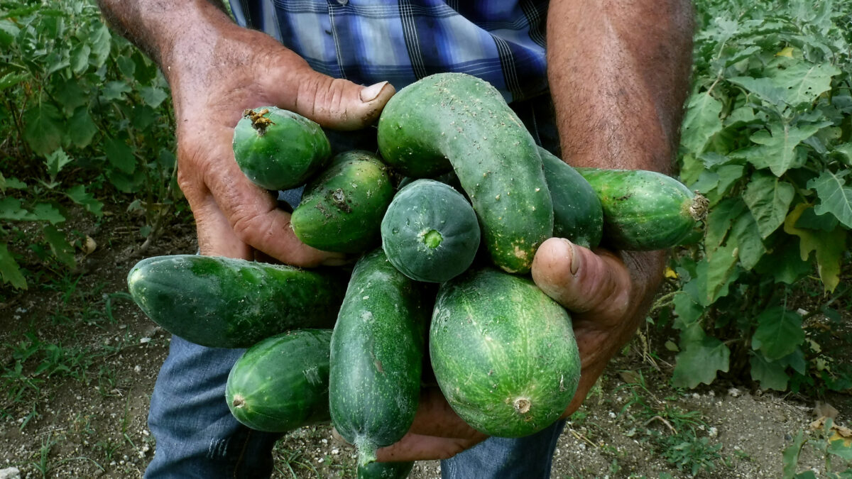
Now there are plots of different varieties of fruit trees, vegetables and tubers on the 14 hectares that this farmer received from the State in usufruct in 2010, as part of a government policy to reduce unproductive land and boost food production.

The crops feed his family, while contributing to social programs and sales to the community, after part of the produce is delivered to the Juan Oramas Credit and Services Cooperative, to which the farm located in the municipality of Guanabacoa, one of the 15 municipalities of the Cuban capital, belongs.

On the farm, where he works with his family and an assistant, Sosa produces cow and goat milk, raises pigs and poultry, and is dreaming of farming freshwater fish in a small pond in the not too distant future.

La Villa is in the process of receiving “sustainably managed farm” certification. The farm and Sosa represent a growing effort by small Cuban farmers to recuperate degraded land and use environmentally friendly techniques.

The restoration of unproductive and/or degraded lands is also connected to the need to increase domestic food security, in a country highly dependent on food imports, whose rising prices mean a domestic market with unsatisfied needs and cycles of shortages such as the current one.

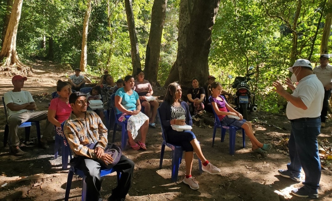
At the end of 2021, Cuba had 226,597 farms, 1202 of which had agroecological status while 64 percent of the total – some 146,000 – were working towards gaining agroecological certification, according to official statistics.

Sosa, who has been known as “Che” since he was a child, said the use of natural fertilizers and animal manure has made a difference in the recovery and transformation of the soil.

“It is also important to pay attention to the way crops are cultivated or harvested, to avoid compaction,” the farmer said.

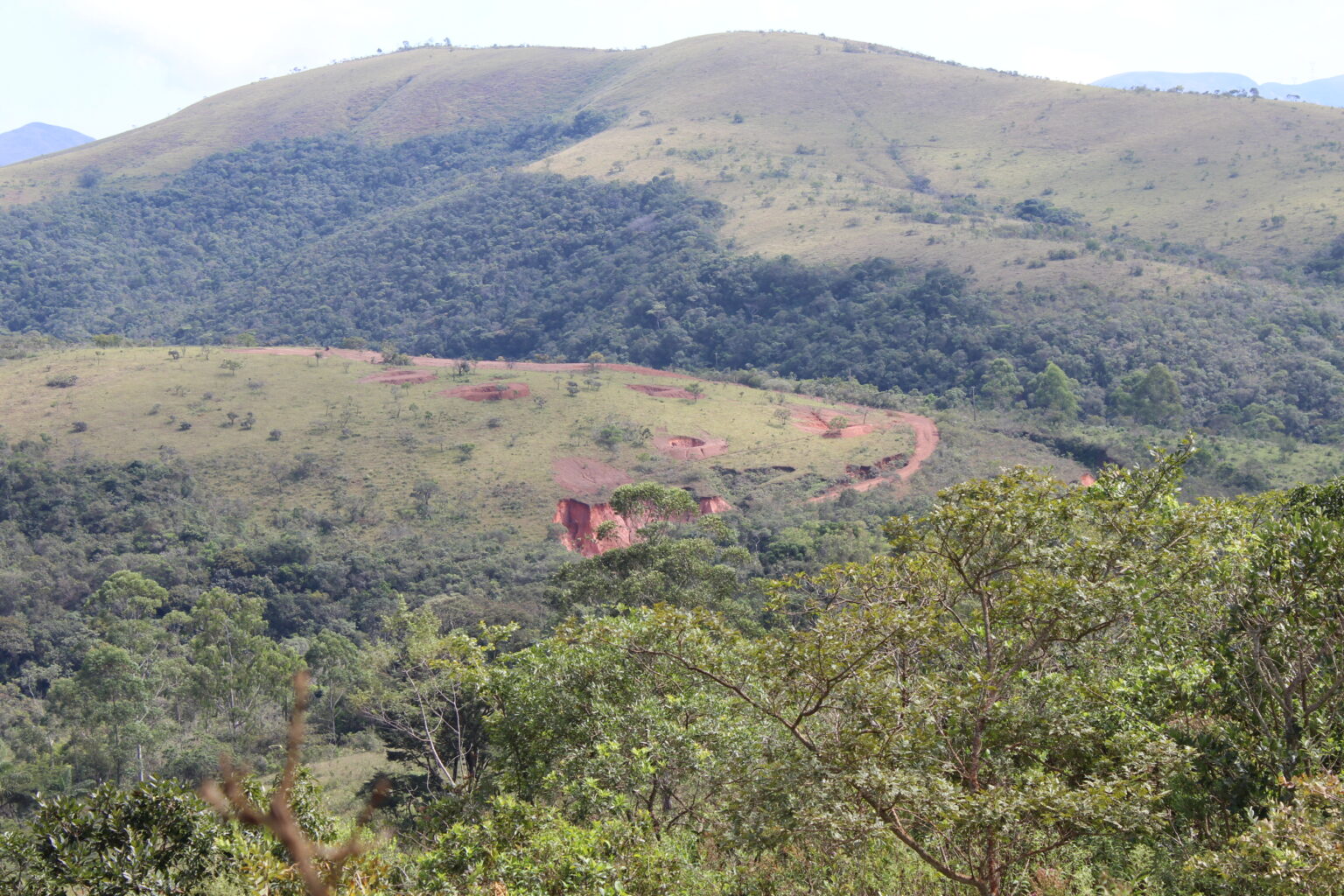
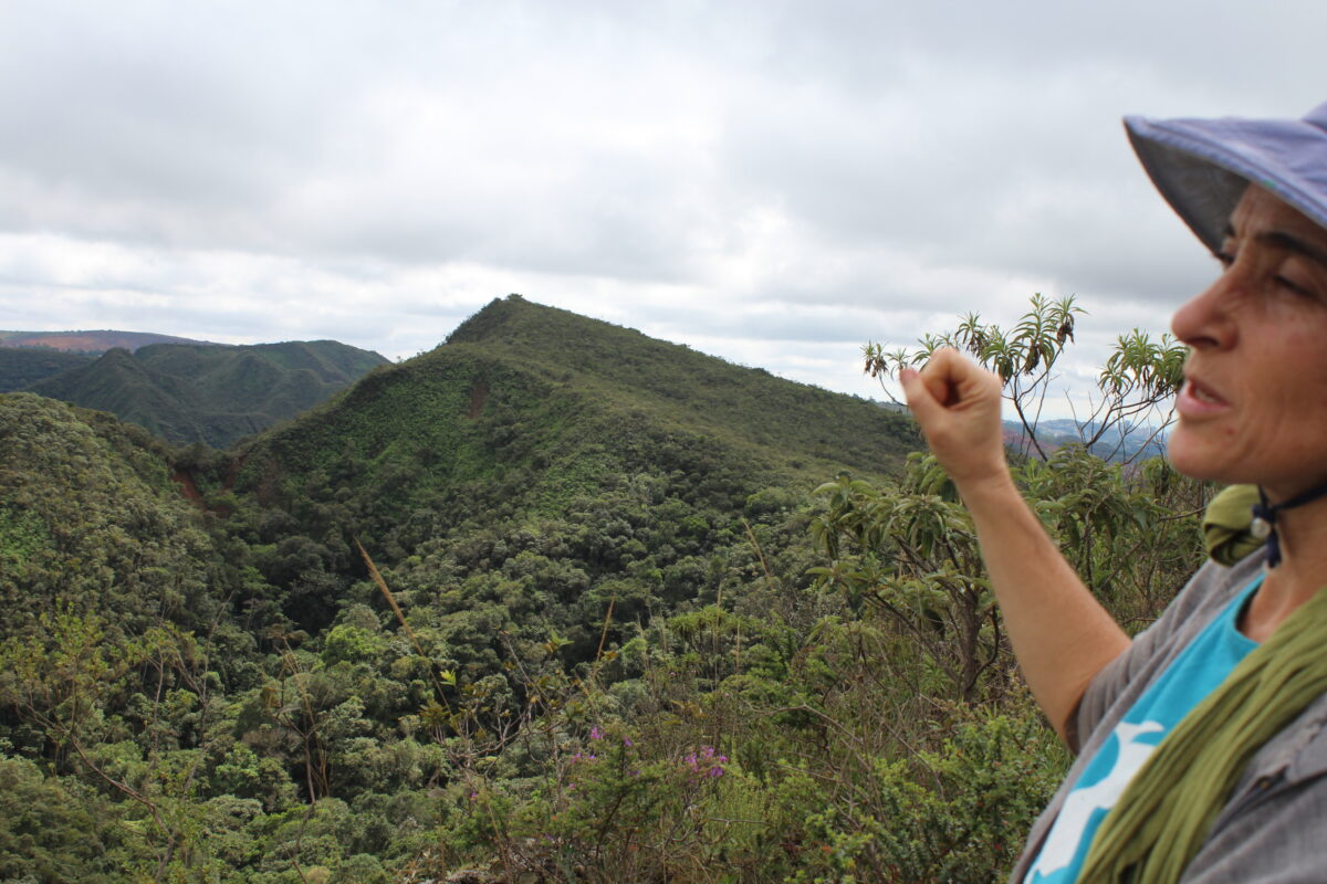
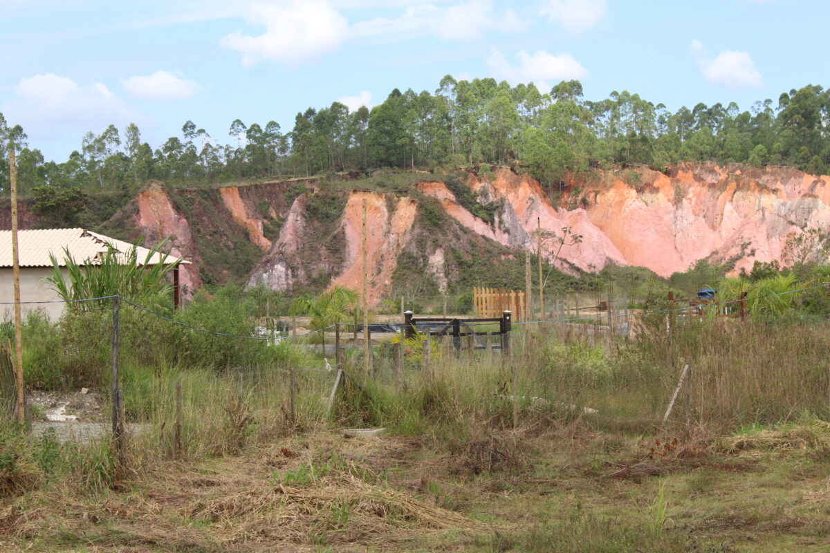
Studies show that changes in land use, inadequate agricultural practices (including the intensive use of agricultural machinery and irrigation), the increase in human settlements and infrastructure and the effects of climate change are factors that are accelerating desertification and soil degradation in this Caribbean island nation of 11.2 million people.

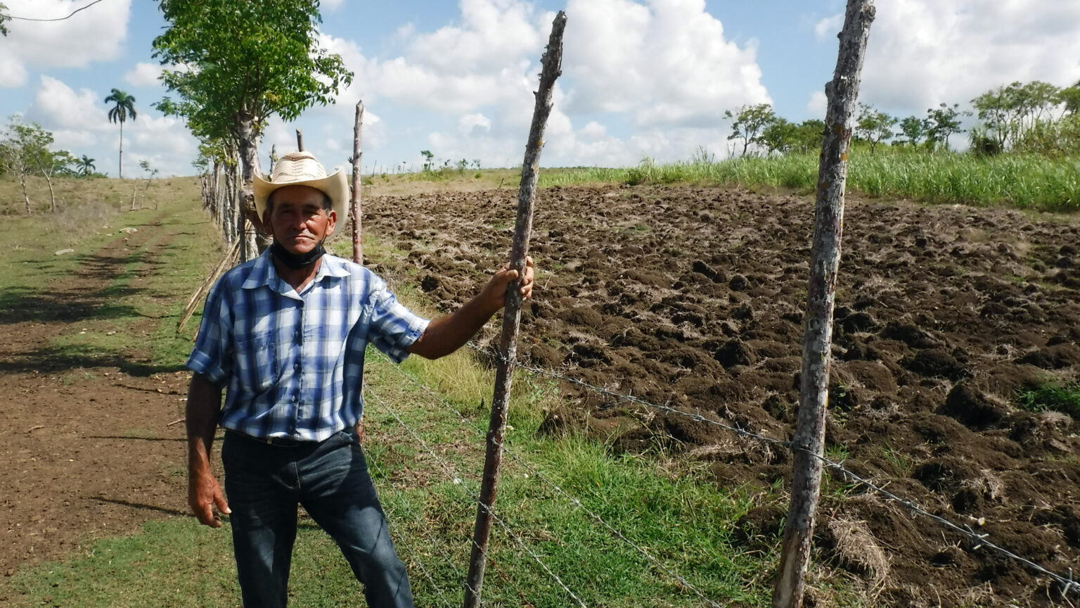
Sosa stressed the importance of paying attention to the direction of the land for planting, and the use of living or dead barriers “to prevent the water from carrying the topsoil to lower areas when it rains.”

Drought and climate change

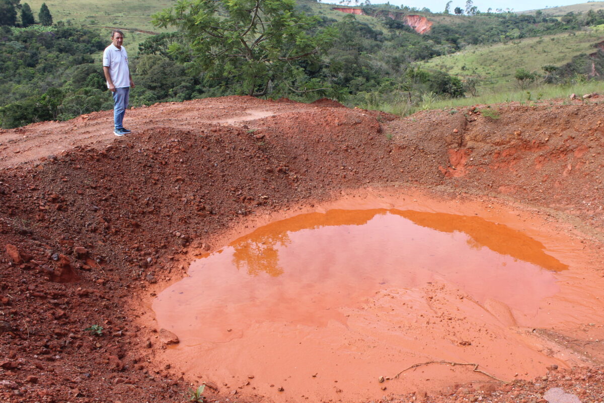
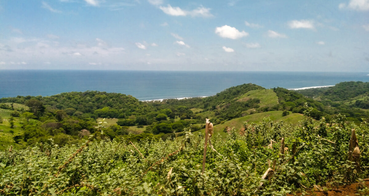
In this archipelago covering 109,884 square kilometers, 77 percent of the soils are classified as not very productive.

They are affected by one or more adverse factors such as erosion, salinity, acidity, poor drainage, low fertility and organic matter content, or poor moisture retention.

The most recent statistics show that 35 percent of the soil in Cuba presents some degree of degradation.

But at 71 years of age, Sosa, who has worked in the countryside all his life, has no doubt that climate change is hurting the soil.

“The rain cycles have changed,” Sosa said. “When I was young, in the early 1960s, my father would plant taro (Colocasia esculenta, a tuber that is widely consumed locally) in March, around the 10th or so, and by the 15th it would be raining heavily. That is no longer the case. This April was very dry, especially at the end of the month, and so was early May.”

He also referred to the decrease in crop yields and quality, “as soils become hotter and water is scarcer.”

Several studies have corroborated important changes in Cuba’s climate in recent years, related to the increase in the average annual temperature, the decrease in cloud cover and stronger droughts, among other phenomena.

According to forecasts, the country’s climate will tend towards less precipitation and longer periods without rain, and by 2100 the availability of water potential could be reduced by more than 35 percent.

But more intense hurricanes are also expected, atmospheric phenomena that can discharge in 48 hours half of the average annual rainfall, with the consequent stress and severe soil erosion.

Although the least productive lands are located in the east, and Cuba’s so-called semi-desert is limited to parts of the southern coast of Guantánamo, the easternmost of the 15 provinces, forecasts indicate that the semi-arid zones could expand towards the west of the island.

Goals

In addition to being a State Party to the United Nations Convention to Combat Desertification, since 2008 Cuba has been promoting the Program for Country Partnership, also known as the National Action Program to Combat Desertification and Drought; Sustainable Land Management.

Likewise, the Cuban government is committed to the 2030 Agenda and its 17 Sustainable Development Goals (SDGs), agreed within the United Nations in 2015.

In SDG 15, which involves life on land, target 15.3 states that “By 2030, combat desertification, restore degraded land and soil, including land affected by desertification, drought and floods, and strive to achieve a land degradation-neutral world.”

According to Sosa, the increase in soil degrading factors requires more efforts to restructure its physical and chemical characteristics.

In addition, he said, mechanisms should be sought to prioritize irrigation, taking into account that many sources are drying up or shrinking due to climate variability.

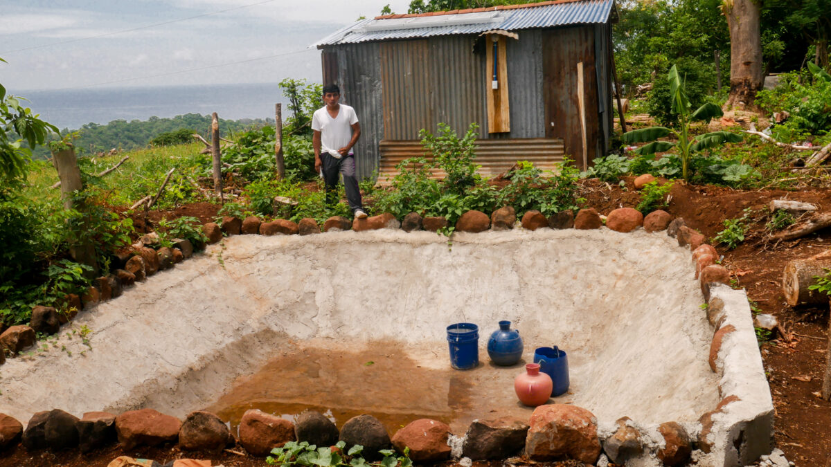
“In my case, I irrigate the lower part of the farm with a small system connected to the pond. But in the higher areas of the farm I depend on rainfall,” he said.

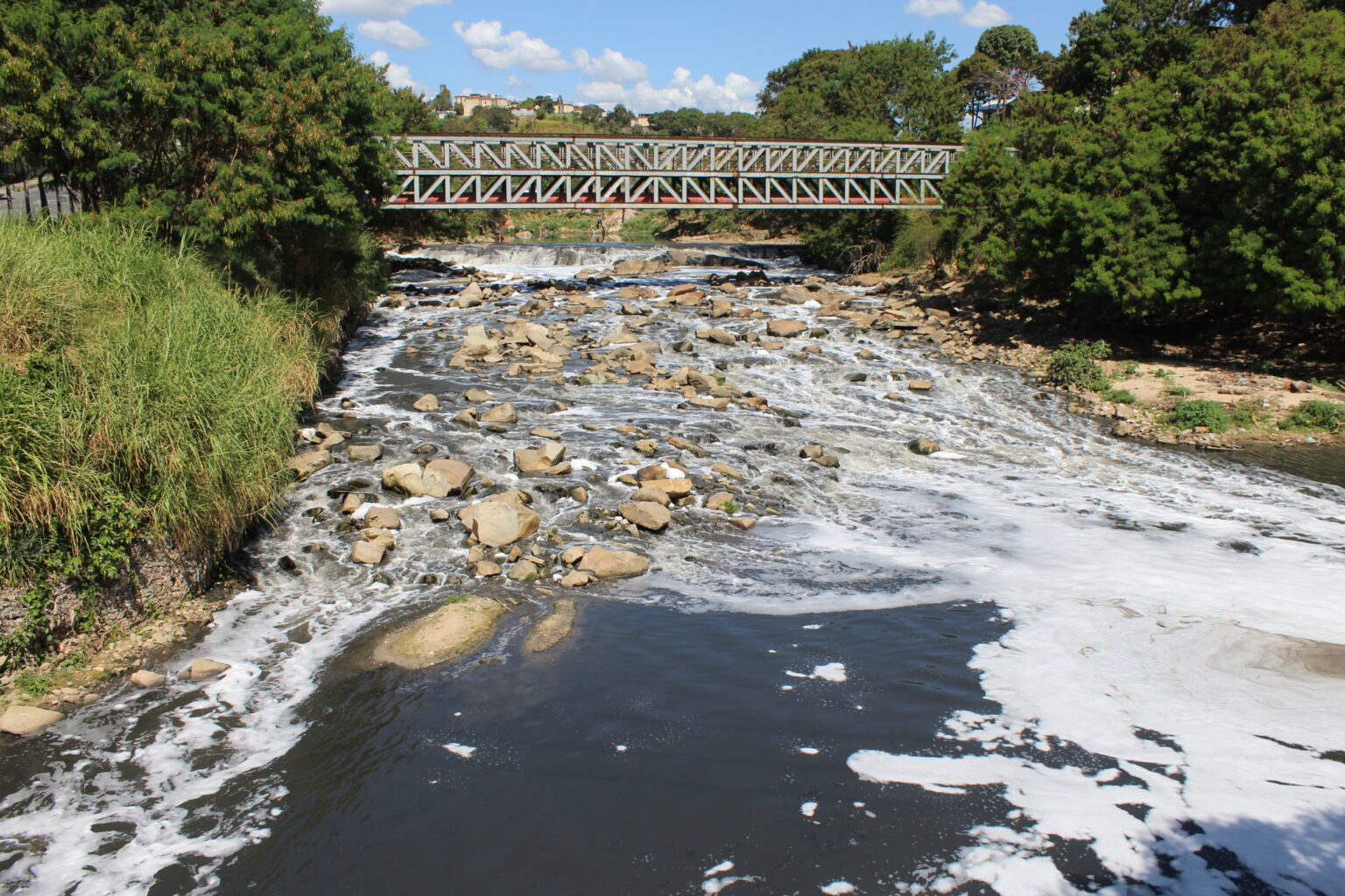
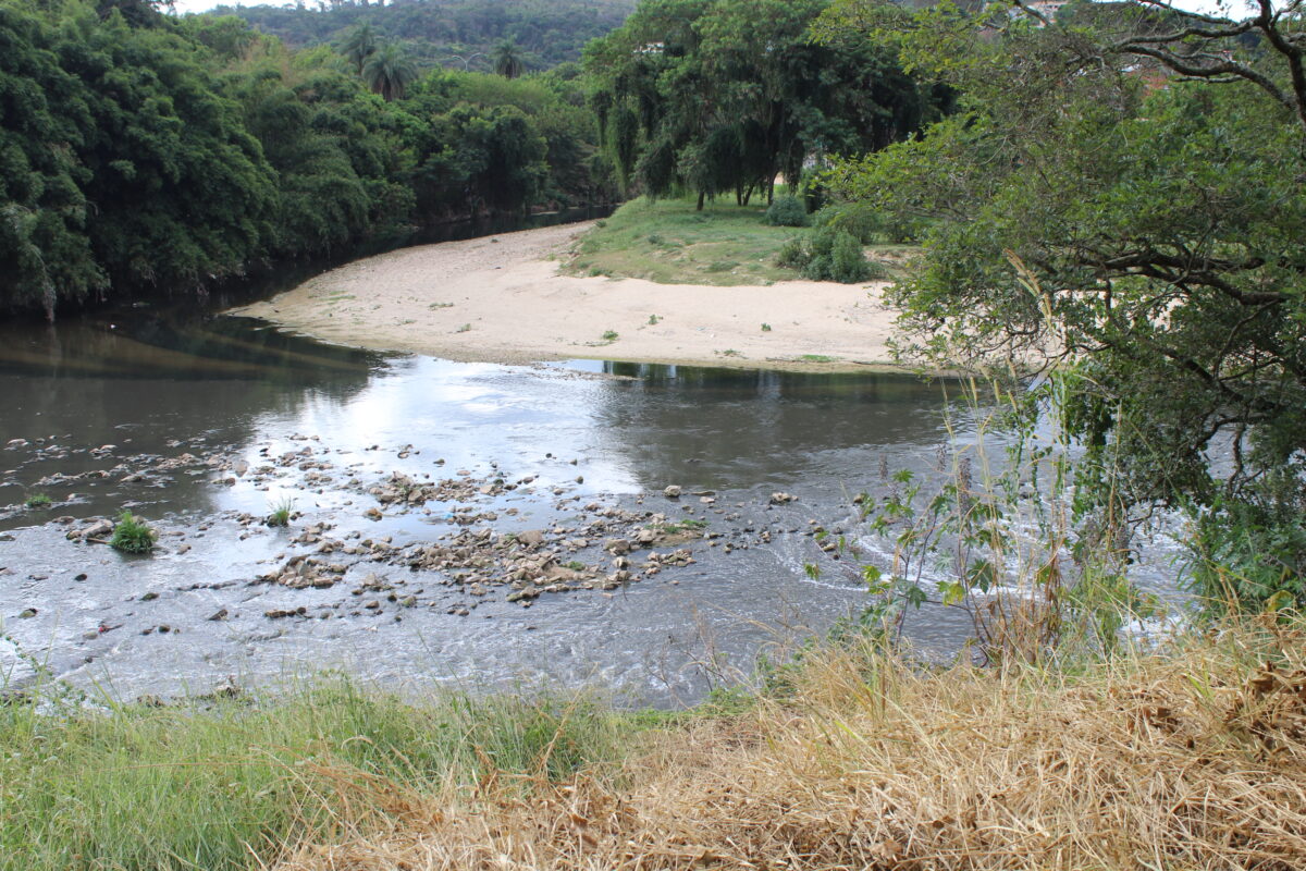
The construction of tanks or ponds to collect rainwater, in addition to the traditional reservoirs, are ideal alternatives for this Caribbean country with short, low-flow rivers and highly dependent on rainfall, which is more abundant during the May to October rainy season.

But farmers like Sosa require greater incentives: there is a need for more training on the importance of sustainable management techniques, and for economic returns, as well as financial and tax support, in order to make agroecological practices more widespread.

In 2019, Cuba approved the National Land Degradation Neutrality Target Setting Program.

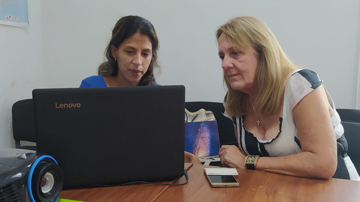
“The guideline foresees implementing new financial economic instruments or improving existing ones by 2030 in order to achieve neutrality in land degradation,” Jessica Fernández, head of the Climate Change department of the Ministry of Science, Technology and Environment, told IPS.

The plan is to enhance the use of credits, insurance and taxes as economic incentives for farmers, based on soil improvement and conservation, and to account for the current expenses destined to environmental solutions to determine the total expenses for soil conservation, the official added.

“We are in talks and studies with the Central Bank of Cuba to gradually introduce green banking,” Gloria Gómez, director of natural resources, prioritized ecosystems and climate change at the ministry, told IPS.

“This service will seek to promote and finance projects that provide solutions to environmental problems through loans with lower interest rates, longer repayment periods, incentives for green products and services, or eco-labeling,” she said.

Since 2000, the Ministry of Agriculture has been developing the National Program for Soil Improvement and Conservation, and in January the Policy for Soil Conservation, Improvement and Sustainable Management and Fertilizer Use came into effect.

At the same time, the Cuban State’s plan to combat climate change, better known as Tarea Vida, in force since 2017, also includes actions to mitigate soil vulnerabilities.

In the last five years, the principles of Sustainable Land Management (SLM) were applied to more than 2525 hectares, while one million of the more than six million hectares of agricultural land in the country received some type of benefit, statistics show.

Other national priorities are related to increasing the forested area to 33 percent, extending the areas under SLM by 150,000 hectares and improving 65 percent of agricultural land by the end of the current decade.

© Inter Press Service (2022) — All Rights ReservedOriginal source: Inter Press Service

Check out our Latest News and Follow us at Facebook

Original Source

Caring for Water Where Mining Leads to Wealth and Tragedies in Brazil — Global Issues

A mountainous landscape in the area of the headwaters of the Velhas River, where “barraginhas”, the Portuguese name for holes dug like lunar craters in the hills and slopes, prevent erosion by swallowing a large amount of soil that sediments the upper reaches of the river, in the southeastern Brazilian state of Minas Gerais. CREDIT: Mario Osava/IPS
  • by Mario Osava (belo horizonte/itabirito, brazil)
  • Inter Press Service

The so-called Iron Quadrangle, a mountainous area of some 7,000 square kilometers in the center of the state, concentrates the state’s minerals and mining activity, long questioned by environmentalists, who have been impotent in the face of the industry’s economic clout.

But the threat of water shortages in Greater Belo Horizonte, population six million, along with two horrific mining accidents, reduced the disparity of forces between the two sides. Now environmentalists can refer to actual statistics and events, not just ecological arguments.

Belo Horizonte, the capital of the state, experienced an unprecedented water crisis in 2014 and 2015, during a drought that affected the entire southeast of Brazil.

“For the first time we experienced shortages here that only the semi-arid north of the state was familiar with,” said Marcelo da Fonseca, general director of the Mining Institute of Water Management (Igam).

On Jan. 25, 2019, a tailings dam broke in Brumadinho, 35 kilometers from Belo Horizonte as the crow flies. The tragedy killed 270 people and toxic sludge contaminated more than 300 kilometers of the Paraopeba River, which provided 15 percent of the water for the Greater Belo Horizonte region (known as RMBH), whose supply has not yet recovered.

On Nov. 5, 2015, a similar accident had claimed 19 lives in Mariana, 75 kilometers from Belo Horizonte, and silted up more than 600 kilometers of the Doce River on its way to the Atlantic Ocean. (The river, whose waters run eastward, do not supply the RMBH.)

Mining hazards

Minas Gerais has more than 700 mining tailings dams. The latest data from the State Environmental Foundation (Feam) show 33 in different degrees of emergency, four of which are at level three – high risk and mandatory evacuation of endangered residents – and nine at level 2 – recommended evacuation.

“We are hostages of the mining companies, they occupy the territory and make other economies unviable,” said Camila Alterthum, one of the founders and coordinators of the Cresce Institute and an activist with the Fechos, Eu Cuido movement, promoted by the Rio de las Velhas Watershed Committee.

Fechos is the name of an Ecological Station, a 603-hectare integral conservation area belonging to the municipality of Nova Lima, but bordering Belo Horizonte.

“There are mountains here that recharge the Cauê aquifer, which supplies more than 200,000 inhabitants of southern Belo Horizonte and a neighborhood in Nova Lima,” an adjoining municipality, said Alterthum, who lives in Vale do Sol, a neighborhood adjacent to Fechos.

Her movement presented to the Minas Gerais state legislature a bill to expand Fechos by 222 hectares, to provide more water and preserve local biodiversity.

But Vale, Brazil’s largest mining company, aims to expand its two local mines in that area.

In order to acquire the land, it is offering double the number of hectares for conservation, a counterproposal rejected by the movement because it would not meet the environmental objectives and most of it is an area that the company must preserve by law anyway.

A fiercer battle was unleashed by the decision of the Minas Gerais government’s State Environmental Policy Council, which has a majority of business and government representatives, to approve on Apr. 30 a project by the Taquaril company to extract iron ore from the Curral mountain range.

This mountain range is the most prominent landscape feature of Belo Horizonte, in addition to being important in terms of water and environmental aspects for the capital, although it is located on its border, on the side of the municipality of Nova Lima. The mining threat triggered a huge outcry from environmentalists, artists and society in general.

Droughts and erosion

There are other threats to the RMBH’s water supply. “We are very close to the springs, so we depend on the rains that fall here,” Fonseca told IPS at Igam headquarters in Belo Horizonte.

Two consecutive years of drought have seriously jeopardized the water supply.

Two basins supply the six million inhabitants of the 34 municipalities making up Greater Belo Horizonte.

The Velhas River accounts for 49 percent of the water supply and the Paraopeba River for 51 percent, according to Sergio Neves, superintendent of the Metropolitan Business Unit of the Minas Gerais Sanitation Company (Copasa), which serves most of the state.

The Paraopeba River stopped supplying water after the 2019 accident, but its basin has two important reservoirs in the tributaries. The one on the Manso River, for example, supplies 34 percent of the RMBH.

The Velhas River only has a small hydroelectric power plant reservoir, with a capacity of 9.28 megawatts, but it is generating only four megawatts. It is run-of-river, that is, it does not store enough water to regulate the flow or compensate for low water levels.

In addition, sedimentation has greatly reduced its storage capacity since it began to operate in 1907. The soil upstream is vulnerable to erosion and has been affected by urban and agricultural expansion, local roads and various types of mining, not only of iron ore, which aggravate the sedimentation of the rivers, said Fonseca.

Decentralized solutions

The municipal government of Itabirito, which shares the headwaters of the Velhas basin with Ouro Preto, the gold capital in the 18th century, is promoting several actions mentioned by Fonseca to mitigate erosion and feed the aquifers that sustain the flow of the rivers.

It is intriguing to see craters in some rural properties in Itabirito, especially on hills or gently sloping land.

They are “barraginhas”, explained Julio Carvalho, a forestry engineer and employee of the Municipal Secretariat of Environment and Sustainable Development. They are micro-dams, holes dug to slow down the runoff of rainwater that causes erosion.

This system prevents a large part of the sediment from flowing into the rivers, as well as the phenomenon of “voçorocas” (gullies, in Portuguese), products of intense erosion that abound in several parts of Itabirito and Ouro Preto, municipalities where the first tributaries of the Velhas are born.

As these are generally private lands, the municipal government obtains financing to evaluate the properties, design the interventions and put them out to bid, in agreement with the committees that oversee the watersheds, Carvalho told IPS.

For country roads, which generate a great deal of erosion in the undulating topography, “dry boxes” are used, as well as small holes in the banks to retain the torrents or at least curb their speed, he said.

Other “mechanical land use and conservation practices” include recovering water sources through reforestation and fencing to prevent animals from invading water sources and trampling the surrounding areas.

Itabirito is also seeking to dredge the river of the same name, which crosses the city, to reduce sedimentation, which was aggravated by flooding in January, when the water level in the river rose unusually high.

Environmental education, a program of payments for environmental services and the expansion of conservation areas, in the city as well, are the plans implemented by Felipe Leite, secretary of environment and sustainable development of Itabirito since 2019.

“We want to create a culture of environmental preservation,” partly because “Itabirito is the water tank of Belo Horizonte,” he told IPS.

The municipal government chose to cooperate with the mining industry, especially with the Ferro Puro company, which decided to pave a road and reforest it with flowers as part of a tourism project.

In São Bartolomeu, a town in the municipality of Ouro Preto, Ronald Guerra, an ecotourism entrepreneur, proposes a succession of small dams and reservoirs as a way of retaining water, feeding the water table and preventing erosion.

On his 120-hectare farm, half of which is recognized as a Private Natural Heritage Reserve –a private initiative conservation effort – he has 13 small dams and raises fish for his restaurant and sport fishing.

The son of a doctor from Belo Horizonte, he opted for rural life and agroecology from a young age. He was secretary of environment of Ouro Preto and today he is an activist in several watershed committees, non-governmental organizations and efforts for the promotion of local culture.

© Inter Press Service (2022) — All Rights ReservedOriginal source: Inter Press Service

Check out our Latest News and Follow us at Facebook

Original Source

Floods Drive Urban Solutions in Brazilian Metropolis — Global Issues

Pollution from urban sewage is visible in the Onça (jaguar, in Portuguese) River, near its mouth, seen here from the entrance bridge in the Ribeiro de Abreu neighborhood that suffers frequent flooding when it rains heavily in Belo Horizonte, capital of the Brazilian state of Minas Gerais, in southeastern Brazil. CREDIT: Mario Osava/IPS
  • by Mario Osava (belo horizonte, brazil)
  • Inter Press Service

Ribeiro de Abreu is one of the neighborhoods most affected by recurrent flooding in Belo Horizonte, capital of the state of Minas Gerais, as it is located on the right bank of the Onça (jaguar, in Portuguese) River, on the lower stretch, into which the water drains from a 212 square kilometer basin made up of numerous streams.

Cleaning up the river and preventing its waters from continuing to flood homes requires actions that also produce social benefits.

“We have so far removed 736 families who were living in high-risk situations, on the riverbank,” Santos told IPS in the same place where precarious and frequently flooded shacks gave way to the Community Riverside Park (Parque Ciliar, in Portuguese), which has a garden, soccer field, children’s playground and fruit trees.

The project, begun by local residents together with Comupra and the local government in 2015 and gradually implemented since then, aims to extend the community park 5.5 kilometers upstream through several neighborhoods by 2025.

This includes doubling the number of families resettled, cleaning up the Onça basin and its nine beaches, three islands and three waterfalls, preserving nature and developing urban agriculture, and creating areas for sports and cultural activities. All with participatory management and execution.

Displaced within the same neighborhood

The families removed from the flood-prone riverbank now live mostly in safe housing in the same Ribeiro de Abreu neighborhood, which had 16,000 inhabitants at the 2010 census, but is now estimated to be home to 20,000 people.

The Belo Horizonte city government has a rule to resettle families from risky areas in places no more than three kilometers from where they used to live, Ricardo Aroeira, director of Water Management of the Municipal Secretariat of Works and Infrastructure, told IPS.

That is the case of Dirce Santana Soares, 55, who now lives with her son, her mother and four other family members in a five-bedroom house, with a yard where she grows a variety of fruit trees and vegetables.

“It’s the best thing that could have happened to us,” she said. Five years ago she lived next to the river, which flooded her shack, almost always in the wee hours of the morning, every year during the rainiest months in Belo Horizonte – December and January.

“We had bunk beds and we piled everything we wanted to save on top of them. Then we built a second floor on the house, leaving the first floor to the mud,” she told IPS. “But I didn’t want to leave the neighborhood where I had been living for 34 years.”

She was lucky. After receiving the compensation for leaving her riverside shack, an acquaintance sold her their current home, at a low price, with long-term interest-free installments.

Bad luck

Soares, who is now a domestic worker, had a daycare center that started losing money in the face of the increased offer of free nursery schools by the local government, and the COVID-19 pandemic over the last two years.

Itamar Santos, a 64-year-old father of three, has also lived in the neighborhood for almost four decades. Before that, he worked as a mechanical lathe operator in other cities and for three years in Carajás, the large iron ore mine in the eastern Amazon, 1,600 km north of Belo Horizonte.

In 1983, in Carajás, he lost his right leg when he fell into a 12-meter well. “It was night-time, and there was no electricity, just dark jungle,” he explained. After the first painful impact, he learned to live with his disability and regained the joy of living, with a specially adapted car.

He became an activist and among his achievements were free bus tickets for paraplegics and a gymnasium for multiple sports. “Creating conditions that enable the disabled to leave their homes is therapeutic,” he told IPS.

But the cause that impassions him today is the river, which in January has a heavy flow due to the heavy rains that month, but dries up in September, in the dry season.

“Let the Onça drink clean water” is the slogan of a movement also promoted by Santos, to emphasize the protection and recovery of the thousands of springs that supply the river and its tributary streams.

Every year since 2008, this movement, driven by Comupra, organizes meetings for reflection and debate on the revitalization of the river in riverside venues in different neighborhoods in the basin.

The festivities are also repeated annually, or more often. Carnival brings joy to the local population on the beaches or squares along the banks of the Onça River, and giant Christmas trees are set up for the communities to come out and celebrate the holidays.

The basin, or more precisely sub-basin, of the Onça River comprises the northern half of the territory and the population of Belo Horizonte, which totals 2.5 million inhabitants. The south, which is richer, is where the Arrudas River is located.

Both emerge in the neighboring municipality to the west, Contagem, and flow east into the Das Velhas River, the main source of water for the six million inhabitants of Greater Belo Horizonte. As they cross heavily populated areas, they are the main polluters of the Velhas basin.

Major floods in the provincial capital occur mainly in the Onça sub-basin. The steep topography of Belo Horizonte makes the soil more impermeable, leading to more disasters.

Other riverbank parks

The Belo Horizonte city government has been working on drainage plans for years and has been implementing the Program for the Environmental Recovery of the Valley and Creek Bottoms since 2001.

In April it published the Technical Instruction for the Elaboration of Drainage Studies and Projects, under the general coordination of Aroeira.

Since the end of the last century there has been a “paradigm shift,” said Aroeira. Channeling watercourses used to be the norm, but this “merely shifted the site of the floods.” Now the aim is to contain the torrents and to give new value to rivers, integrating them into the urban landscape, cleaning them up and at the same time improving the quality of life of the riverside populations, he explained.

The construction of long, narrow linear parks, which combines the clean-up of rivers or streams with environmental preservation, riverside reforestation and services for the local population, is one of the “structural” measures that can be seen in Belo Horizonte.

The participation of students and teachers from three neighboring schools stood out in the implementation in 2008 of the Nossa Senhora da Piedad Park in the Aarão Reis neighborhood, home to 8,300 inhabitants in 2010, near the lower section of the Onça River.

Cleaning up the creek that gives the park its name was the major environmental and sanitary measure.

“Sewage from the entire neighborhood contaminated the stream and caused widespread illnesses among the children, such as diarrhea, verminosis (parasites in the bronchial tubes) and nausea,” Maria José Zeferino, a retired art teacher at one of the local schools, told IPS.

The park, which belongs to the municipality, has an area of 58,000 square meters, a pond, three courts for different sports, a skateboarding area and a paved walkway for the elderly. A total of 143 families and one farm received compensation to vacate the area, leaving many fruit trees behind.

“A clean river was our dream. And the goal of the next stage is to have swimming, fishing and boating in the city’s streams,” said Zeferino.

The Primer de Mayo Ecological Park, in the neighborhood of the same name with 2,421 inhabitants according to the 2010 census, was built during the revitalization of the stream of the same name, covering 33,700 square meters along a winding terrain. The novelty is a medicinal herb garden, a demand of the local population.

“We discovered 70 springs here that feed the stream that runs into the Onça River,” said Paulo Carvalho de Freitas, an active member of the Community Commission that supports the municipal management of the park and carries out educational activities there.

“My fight for the future is to remove much of the concrete with which the park was built, which waterproofs the soil and goes against one of the objectives of the project,” which was inaugurated in 2008, said Freitas.

© Inter Press Service (2022) — All Rights ReservedOriginal source: Inter Press Service

Check out our Latest News and Follow us at Facebook

Original Source

The Sun Illuminates the Nights of Rural Families in El Salvador — Global Issues

Francisca Piecho stands with her daughter-in-law Johana Cruz and her grandson outside her home that now has electricity from solar energy, in the village of Cacho de Oro, Teotepeque municipality, in the southern department of La Libertad. Hers and other rural Salvadoran families have seen their lives improve with the arrival not only of electricity but also of a reforestation program in the area. CREDIT: Edgardo Ayala/IPS
  • by Edgardo Ayala (teotepeque, el salvador)
  • Inter Press Service

“Just being able to charge the phone with our own electricity, which comes from the sun, is a great thing for us,” the 29-year-old farmer who lives in Cacho de Oro, a rural settlement nestled in hills on the shores of the Pacific Ocean in Teotepeque municipality in the southern department of La Libertad, told IPS.

Salama’s mother, Rosa Aquino, was also enthusiastic about the electrical system installed in her home and 15 other houses in the village in late April.

“It feels good, we never had electricity… at night it makes you happy. When I was a child we used kerosene lanterns. And then battery lamps, and now we save what we used to spend on batteries,” Aquino, 45, told IPS.

Poverty in plain sight

Some 50 families live in Cacho de Oro, dedicated to subsistence agriculture. And although the village has had electricity from the national grid for some years now, nearly twenty families, the poorest, have not been able to afford the connection to the grid.

That was the case of the family of Francisca Piecho, a 43-year-old farmer who lives with her son and his wife and their little boy in a dirt-floor dwelling.

Piecho’s husband works in another area of the country cutting sugar cane, as he could not find work in Cacho de Oro.

The family could not afford to pay the 500 dollars it cost to connect to the national power line that had finally reached the village.

“Some families have relatives in other countries who send them remittances, but we don’t have any, and we couldn’t afford it,” Piecho told IPS, while stirring a stew on a wood stove.

Her son was not at home when IPS visited the village. But Piecho said he works in agriculture, mainly during the May to November rainy season, because in the dry season there is almost no work available.

In El Salvador, electricity distribution has been privatized since 1998, and many rural villages do not have electric power because they are very small and the companies do not see investing there as good business.

According to official figures, 95.2 percent of households in rural areas have access to electricity, while 2.0 percent use candles, 0.8 percent use solar panels, 0.5 percent use kerosene, and 1.4 percent use other means.

Official data also shows that the average monthly household income in urban areas is 728 dollars compared to 435 dollars in rural areas.

But now the poorest families in Cacho de Oro also have electricity, and from a clean energy source, thanks to the solar power project brought to the village by the governmental Environmental Fund of El Salvador (Fonaes), at a cost of 16,000 dollars.

Solar energy to the rescue

Solar panels were installed on the rooftops of the houses of nearly twenty families. The panel provides just enough electric power to connect a couple of light bulbs, charge a cell phone and plug in small appliances that consume less than 500 watts.

“If the appliances consume more than that, it’s not enough to turn them on,” Arturo Solano, a technician with Tecnosolar, the company that supplied the panels, told IPS.

He added that there are approximately 100 community solar energy projects in rural El Salvador, a country of 6.7 million inhabitants. About 7,500 homes have been electrified with this clean energy source.

“You have to adapt to the system and buy appliances that are compatible with the power it supplies,” he said, adding that the amount of energy provided depends on the investment made, because if you want more power, you have to install more panels.

Even so, with this very basic electricity service, the residents of Cacho de Oro are happy to at least have electric light and an outlet to charge their cell phones and stay in communication.

Before the arrival of the solar energy project, some of the families were able to connect to the national grid indirectly through neighbors who were connected. But this meant that they had to pay part of the monthly bill.

“Now we no longer pay part of the bill, which cost us five dollars. We use that money to buy some food, eggs or oil,” Francisco de la Cruz Tulen, a 30-year-old farmer who lives with his wife Milagro Menjívar, 21, and their two small children, told IPS, pleased to have electricity at no monthly cost.

In the rainy season, Tulen, like the rest, rents a small plot of land to plant the staple crops of Central America – corn and beans – to feed the family. He also works on other farms as a day laborer, to earn a little money.

But in the dry season, he leaves the village to look for work in the sugar cane fields. This work, one of the most physically demanding in agriculture, pays between six and 24 dollars a day.

Reservoirs for life

There is no potable water in Cacho de Oro. The families get their water from a spring that sometimes dries up in the dry season and at times they have to buy water in barrels brought in by truck. Each barrel costs 2.5 dollars.

“There are possibilities of getting piped water. A Japanese development cooperation project has dug a well, but we are still waiting to see,” German de la Cruz Tesorero, a resident of the village and the president of the local Communal Development Association (Adescos), an organizational system for small settlements in this Central American country, told IPS.

To maintain water sources and to provide food, the solar electrification project is also accompanied by a reforestation effort in the area. In addition, small reservoirs have been built to irrigate the trees and home gardens.

This has occurred not only in Cacho de Oro, but also in another village located downstream, called Izcacuyo, in the municipality of Jicalapa, also in the department of La Libertad.

The families of Izcacuyo have their own solar electrification project, inaugurated in December 2021, with the difference that they had never received energy from the national grid.

To charge a cell phone, villagers had to go to the canton of La Perla, a 30-minute bus ride away.

The total cost of the local electrification and reforestation project was 38,000 dollars, including 30,000 provided by Fonaes, 4,000 by the municipal government and the other 4,000 from work contributed by the community, which was counted as hours of labor.

Some 5,450 fruit trees have been planted in family plots, including avocado, lemon and mango trees, as well as timber species such as madrecacao (Gliricidia sepium), which offers advantages to the habitat and soils by fixing nitrogen.

The project also provided fertilizer to ensure that the trees grew well.

The municipal government’s idea is that in three or four years, families will be harvesting avocados, mangos and lemons, and part of the production can be marketed along the coastal strip of the department of La Libertad, catering to tourists and hotels and restaurants in the area.

“They will see the benefits in a couple of years,” said William Beltrán, a technician in the Jicalapa municipal government, during a meeting with IPS in San Salvador.

© Inter Press Service (2022) — All Rights ReservedOriginal source: Inter Press Service

Check out our Latest News and Follow us at Facebook

Original Source

Exit mobile version